Near to the street sign is a Forest Boundary Stone. There is a sister stone across the road and both were erected in 2004 to replace earlier stones, erected in1832. The 1832 stones marked out the boundaries of the Forest of Dean. These are numbered 49 and 50 (see this page for more) and you will see more later. Some of you may have noticed number 45, set in a wall near the Rising Sun Inn and numbers 46 and 47 just past the Cenotaph. If you missed these look out for them next time round.

Here, where New Road joins the Coleford road, there are several points of interest. A house across New Road was used from 1830 as the first purpose-built school in the village.
Along the Coleford road itself is a building containing several flats. This was previously the Olde Winding Wheel public house. Its previous name was the Miners Arms but was known to locals as the ‘West End’, presumably because it is at the western end of the village. It was run for many years by Clarence and Wynne James and was reputed to sell the best beer in the village. It still has a Whitbread ceramic plaque on the wall.
A former female employee at the pub described the antics of a mischievous ghost that would sometimes switch the kitchen radio on and off and somehow run the microwave when it was not even plugged in to the power socket. The employee would never venture down the steps to the cellar alone.
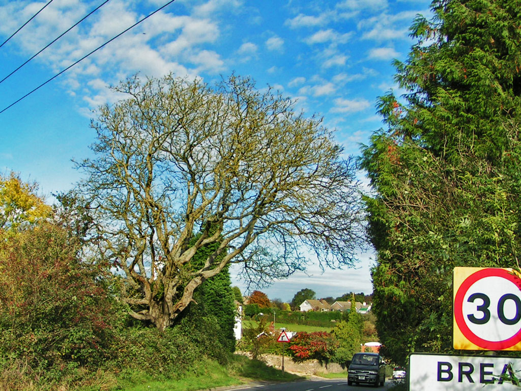
Beyond the flats, at the top of the hill, is Bannock Tree Cottage, named after an adjacent walnut tree that until 2008 stood tall on the edge of the disused limestone quarry.
The old quarry still contains substantial remains of two lime kilns. Burning limestone with coal in such kilns, in order to produce “quicklime”, was a very unhealthy occupation due to the corrosive dust produced by the process. Other limekilns remain in Bream, adjacent to the public footpath through Devil’s Chapel.

Before proceeding on the walk it is worth taking note of your bearings for you are now standing over, or very near to, extensive former underground iron ore workings which run from Lydney Park Estate and Devil’s Chapel to the south and into Noxon Park and the Oakwood Valley to the north. The workings continue through Clearwell Caves and Puzzlewood finally petering out at Robin Hood iron mine near Coleford.
Some years ago much work was done to reinforce these workings to avoid a collapse of the road. In the early days these workings were probably entered from near Noxon Park which you will come to later on the walk. The Oakwood Valley entrance will be encountered later.